GIS Mapping & Spatial Database Development By geo-admin May 4, 2026 No Comments Building accurate, multi-layered spatial datasets for visualization and analysis. Continue Reading
Geospatial Advisory & Capacity Building By geo-admin April 3, 2026 No Comments Providing expert consulting, strategy and training support for geospatial adoption and innovation. Continue Reading
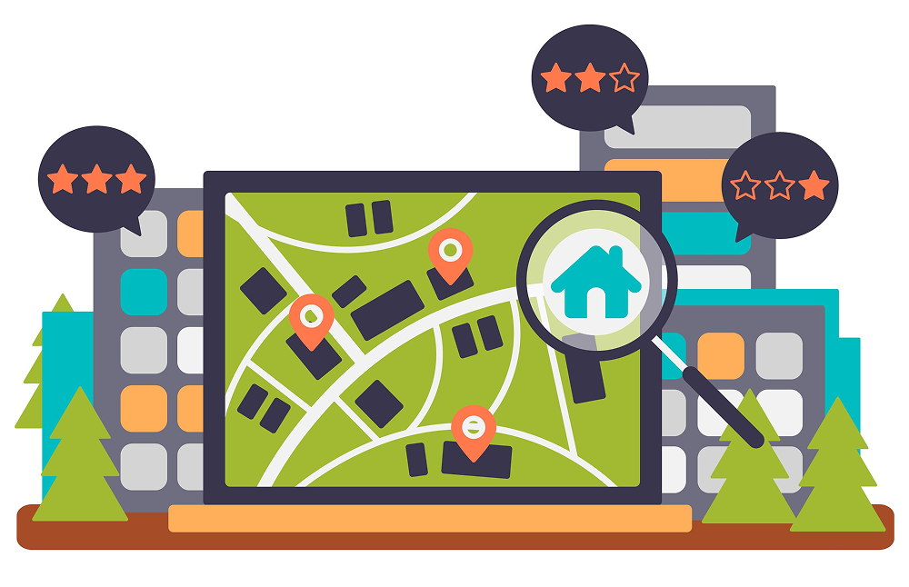
Dashboards & Decision Support Systems By geo-admin April 3, 2026 No Comments Developing interactive geospatial dashboards to visualize data and drive data-backed decisions. Continue Reading
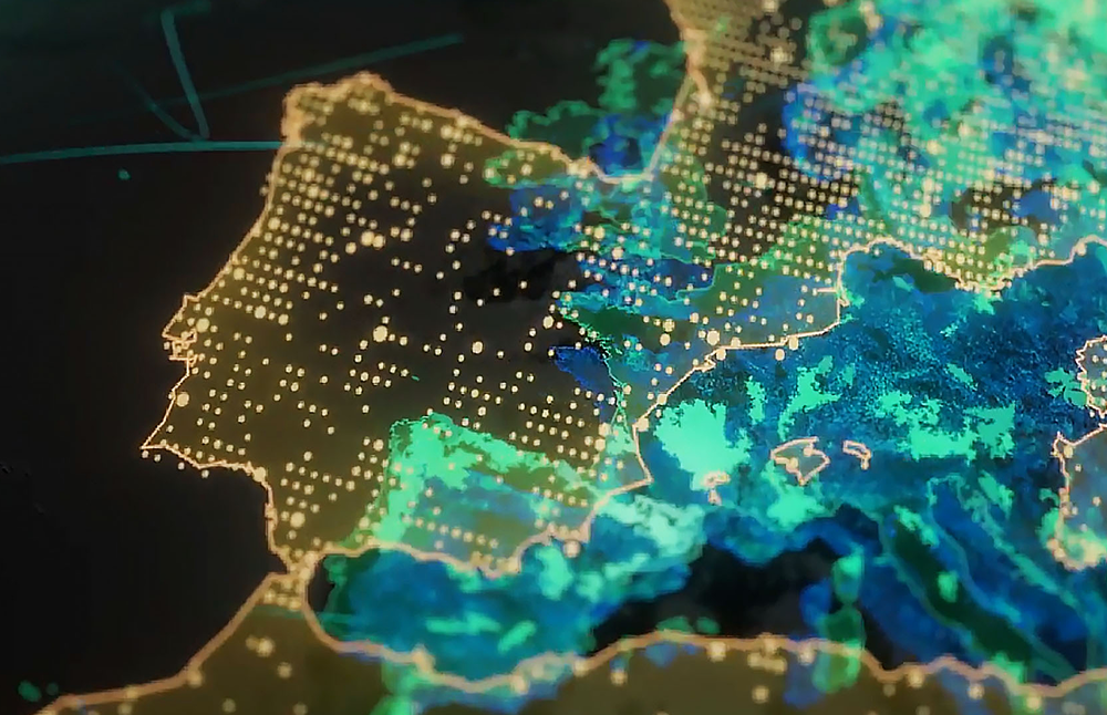
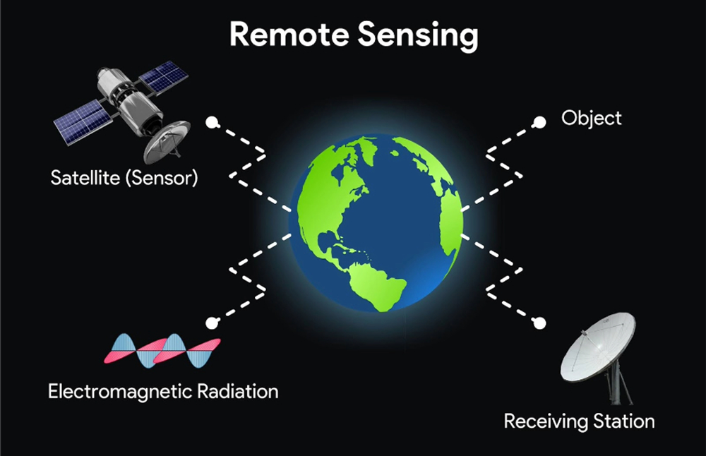
Remote Sensing & Image Analysis By geo-admin December 17, 2020 No Comments Deriving actionable insights from satellite imagery for mapping, monitoring, and modeling. Continue Reading
Drone Mapping & Data Processing By geo-admin December 13, 2020 No Comments Capturing high-resolution aerial data using UAVs for detailed terrain and feature mapping. Continue Reading
LiDAR Mapping & Data Processing By geo-admin December 11, 2020 No Comments – Generating precise 3D models and elevation data for advanced spatial analysis. Continue Reading
Spatial AI & Analytics By geo-admin December 9, 2020 No Comments Integrating Artificial Intelligence and Machine Learning to unlock predictive and pattern-based insights. Continue Reading
Asset Mapping & Management By geo-admin December 7, 2020 No Comments Digitally mapping physical assets for efficient monitoring, planning, and optimization. Continue Reading